|
        |
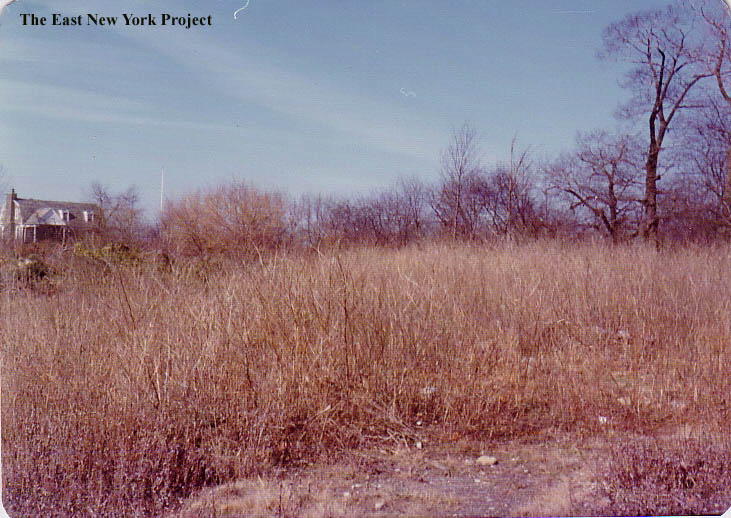
UpperHighnearResPhil1955w.jpg
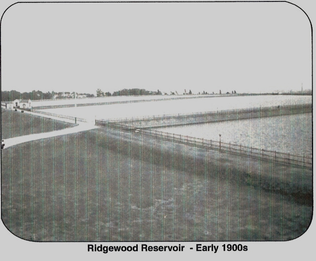
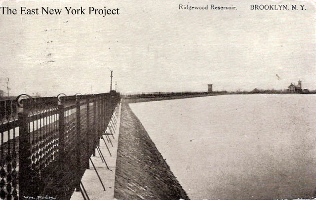
Ridgewood ReservoirThe location of the reservoir is no coincidence; not only did the height of the location serve the purpose of using gravity to distribute water but a natural depression atop the ridge minimized the amount of excavation required to dig the reservoir. The Ridgewood reservoir was completed in 1858. Water was collected from various sources in Long Island and sent via a brick conduit to the pumping station on Atlantic Avenue and Logan Street. From there the water was pumped up to the reservoir via cast iron pipes called "Force Tubes"; hence the name "Force Tube Avenue". Have a look at the map; the avenue was a direct path. The reservoir was Brooklyn's main distributing reservoir, serving all but 4 of the districts. Incidentally, "Conduit" avenue was also a reference to the original water conduits which ran along those paths. At first, the water supply served commercial interests that relied heavily on steam power. Local residents still depended on well water. The reservoir and pumping system was expanded over time and served all residents. Eventually New York City established a master plan to access water from the Catskills and this reservoir was rendered obsolete in the 1920's. The Catskill system was tied in about 1917, ending the need for the pumping stations and the Long Island supply system(Robert Moses would snare all that land for his Long Island Parks.) It continued as a backup system to 1966, and remained a source for illegal swimming into the '70s; accidental drownings were common. The pumping stations on the south side of Atlantic were removed by 1940 and became the site of East New York Vocational High School. The pumping station on the north side of Atlantic Avenue came down in the 1960s to make room for a promised park, which was never developed.
|
|||
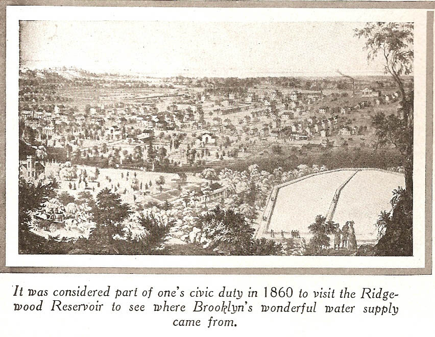 |
This drawing appeared in a 1916 Brooklyn Eagle Anniversary magazine with a reference date of 1860 . | ||
 |
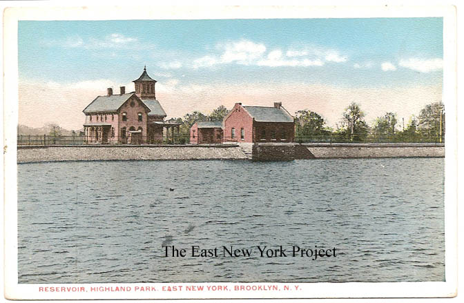 |
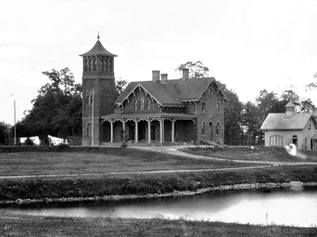
Reservoir, Highland Park, East New York Maker: Commercial Art Post Card Co. Dated: 1916 Status: Own (RG) On the left, an 1874 image of the keepers' House, also seen in the Commercial Art Post card on the right, along with one of the efflux gatehouses in the center of the shot. . |
|
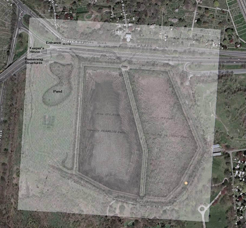 |
The Keeper's house was located up in the northwest corner of the reservoir, and we were unclear as to when it disappeared and why. . Anthony Messina developed an interesting theory. He took the design image, scaled it and created an overlay on a Google Earth image today. It appears the house and the gate would be in the direct path of the Interboro Parkway. The parkway took quite a long time to plan and construct, so there is a pretty large time window of about 1918 to 1930 when those structures might have disappeared. A new keeper's house was constructed on the east side which can be seen further down this page. | ||
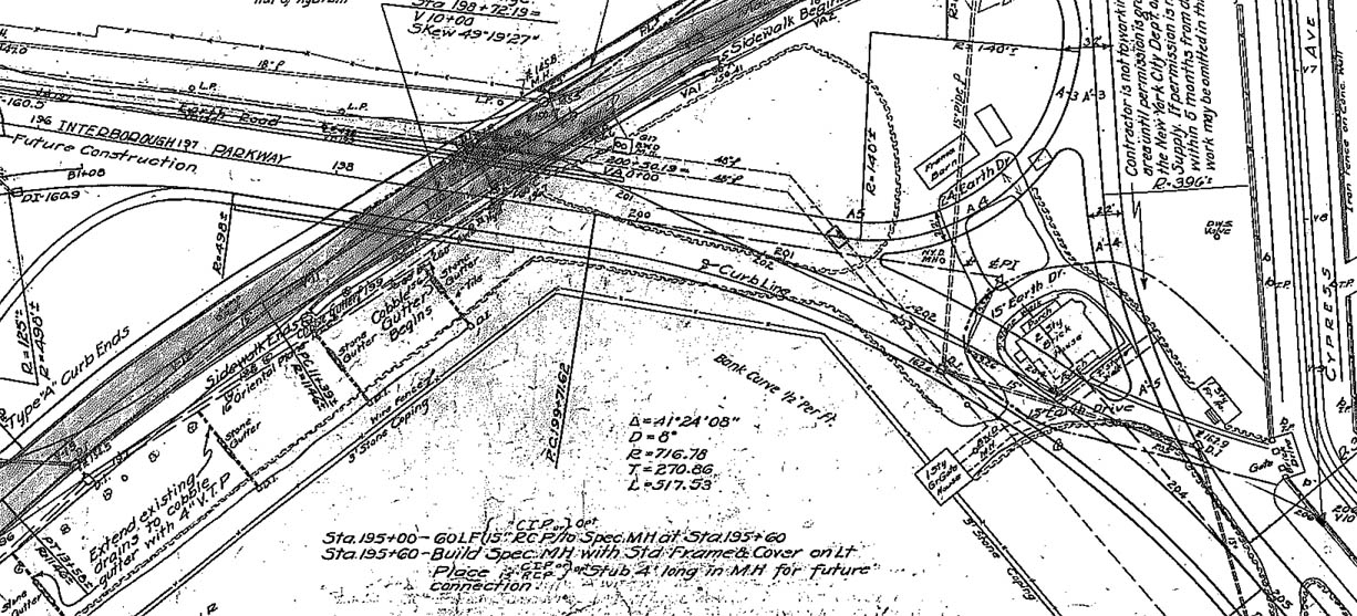 |
It turns out Anthony's theory was correct. I have managed to find the 1932 plans submitted for the Interboro, and I isolated the sections showing plans for the road to pass right through the keepers house, which along with an aerial view confirmed the house was still there in 1932 and subsequently demolished for the Parkway. | ||
 |
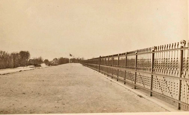
This image dates from 1900. | ||
 |
Ridgewood Reservoir, 1911 From the terrific Brian Merlis Archives, this shot is from 1911 and shows the fancy railing and what appears to be a few folks on a picnic. I'm not sure what that shack is to the left of the picture. |
||
 |
 |
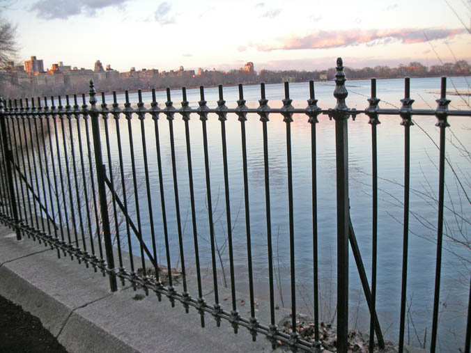
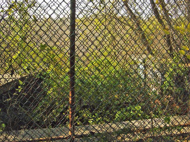
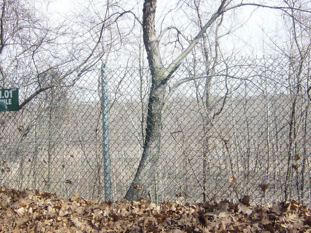
Ridgewood Reservoir Dated: 1913 Maker: Kraus Status: Own(BG) This postcard, and the 1916 NYPL archive photo on the right give a better view of the fence. Technically this fence is strap iron, built by the Hecla Company. The very first fence around the original reservoir bays were wrought iron. |
|
 |
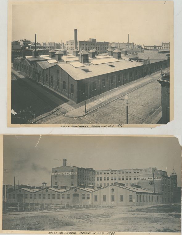 |
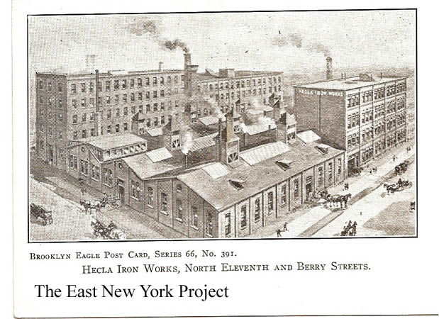
Hecla Iron Works Maker: Brooklyn Eagle Date: Unk Status: Own(RG) The iron fence was manufactured by Hecla Iron Works, a Brooklyn Company located at North 11th and Berry St. Pictured on the right (not in East New York), the remaining building is now an historic landmark converted to condominiums. Hecla, named after an Icelandic Volcano, was a significant design and manufacturing company that contributed to a number of New York City Landmarks. They produced the original 133 kiosks of the IRT system. Founded by Charles Eger and Neils Poulson in 1876, the company shut down in 1928 shortly after their deaths. |
|
 |
 |
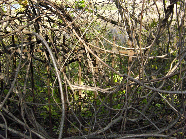
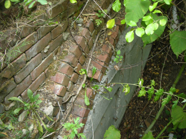
Original Reservoir Fence Thanks to historian Robert Miller for tipping us off that portions of the original fence still exist between the reservoir bays. I took the eerie shot on the left in 2006. The fence around the original reservoir was a true wrought iron fence, I have not confirmed who constructed it. Ironically, the Central Park reservoir underwent a major renovation recently and I discovered the fence design was exactly the same! |
|
 |
 |
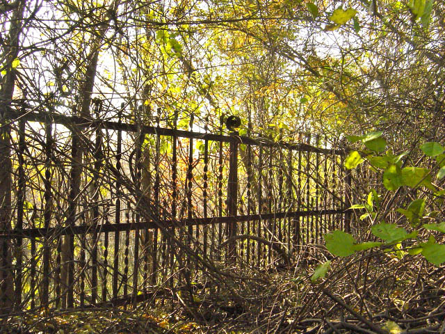
Reservoir Fence Portions of the strap metal fence also remain between the bays. In the second shot my brother and I are looking down at the stones they used to line the reservoirs to prevent erosion. |
|
 |
Reservoir "waterfall" From Joe Perrone; "I don't know what they call it but the whole neighborhood swam there. It had a giant pipe that fed water into the reservoir via a waterfall. Water came out of it when the level was down. When the water was down the drop was about 15 feet. When they filled it up it was about 7 feet. Water only came out, it was not used for drainage. The water fell between the 2 outstretched walls of the structure. You had to dive between the walls or you would hit the slanted sides of the res. There was no slant between the walls, just the waterfall and a flat side that went so far down nobody could touch bottom." That pipe was the force tube up from the pumping station, and this section was designed to avoid erosion from the force of the water being pumped into the reservoir bay. |
||
 |
Reservoir "waterfall" Also from Joe Perrone, a view of the influx pipe that fed the reservoir. From Joe; "I also got a pic of the 2 seven or eight foot pipes that filled the structure until it overflowed the center shelf and caused the waterfall. I was so sure it was one pipe. There was a similar structure in the 3rd res . We called that structure the cave, because it was flat ,dry and cut right into the side of the res. I believe there was one pipe at the rear of the cave but it was bricked up. The third res was dry at that time and was filled with elephant grass. We called it the grass lands. It was spooky at night, a maze of paths ran the whole basin of the res." |
||
 |
Force Tubes I managed to return in 2010 and get a much better shot of those pipes. This was the 1890 addition and these pipes are larger than the original 36 inch pipes used in the 1858 work. |
||
|
 |
Reservoir, Highland Park, East New York Maker: Commercial Art Post Card Co. Dated: 1916 Status: Own (RG) That's the keeper's house on the left, and one of the efflux gatehouses in the center of the shot. Highland Park Reservoir, July 26, 1914 Maker: Unk Dated: 1914 Status: Need Great early shot, I am unsure as to the orientation. |
|
|
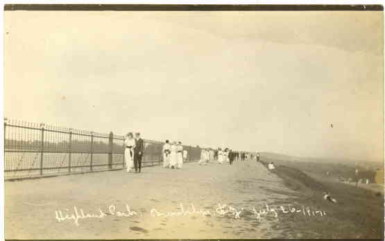
It was common for people to escape the heat in summer by sleeping up by the reservoir? I came across a New York Times article dated July 10, 1936 titled "Parks Kept Open at Night by Mayor". There was a severe heat wave at the time and the article goes on to state that "Between 8,000 and 10,000 slept in Prospect Park and thousand of others stretched around the reservoir at Highland Park." I asked our unofficial historian, my aunt Mary Cornell, and she confirmed it with a terrific story.  |
|||
 |
 |
Walking the Reservoir, 1940s Peter Stango's family photo from the 1940s reminds me that our mother used to get us to walk around the reservoir with her when we were kids with the promise of ice cream- but all I remember was us whining and moaning as that walk seemed to take forever! Tim O'Reilly shared this 1946 image of his mother by the reservoir. Note in both shots the original fence is gone, and at first we hypothesized it was removed for the war effort. |
|
 |
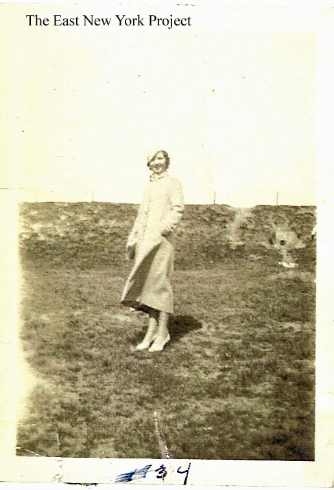 |
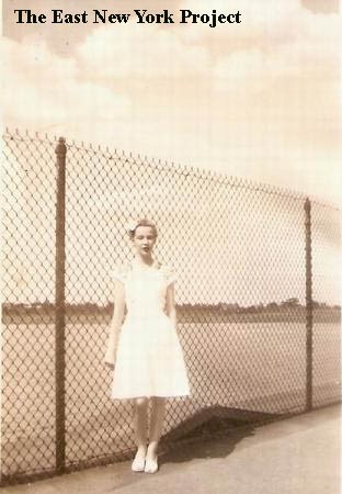
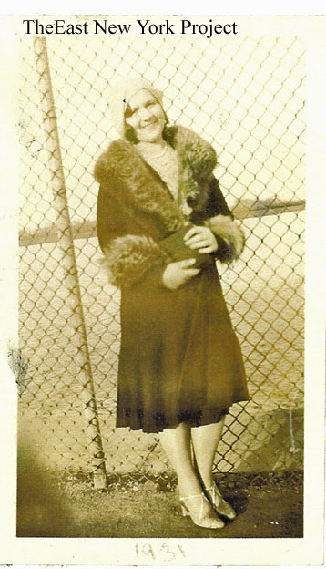
Reservoir, 1930's My "war effort" theory was shot full of holes, thanks to some photos sent in by Ted Maciag. These pictures are of his mother standing by the reservoir in 1931 and 1934. The fence is already gone! Back to the drawing board on that mystery. If you look at Anthony Messina's overlay shot above, it is possible the work on the Interboro required removal of some of the fence and perhaps the majority of it was removed at that time for one reason or another. |
|
 |
 |
Reservoir, 1940s, 1960s Ronnie Amerise not only supplied this shot of his sister Rosemary and friends by the reservoir in the 1940s, he sent this shot taken in 1960; I tried to be creative and zoom the station in the distance, insetting it into the picture. |
|
 |
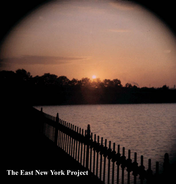 |
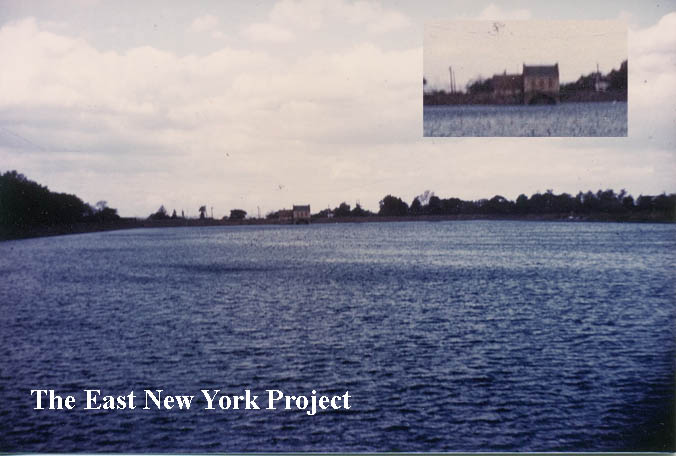
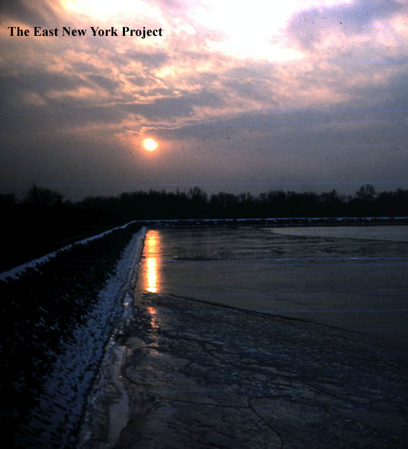
Reservoir, sunset, 1950s Gloria (Profeta) Gallaway sent these artistic views, color slides shot by her father in the 1950s. |
|
 |
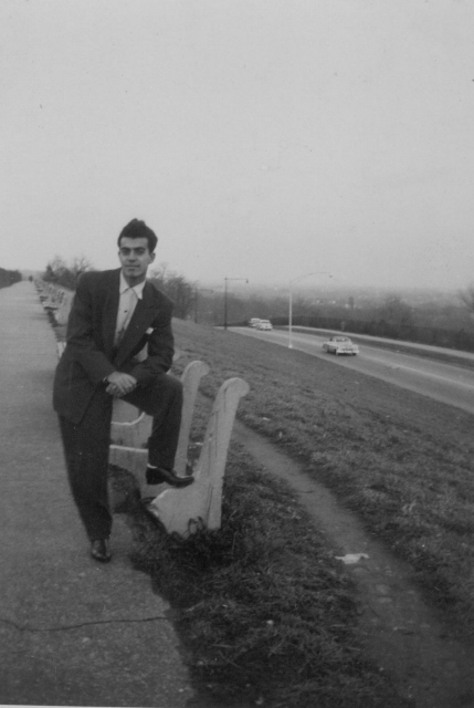 |
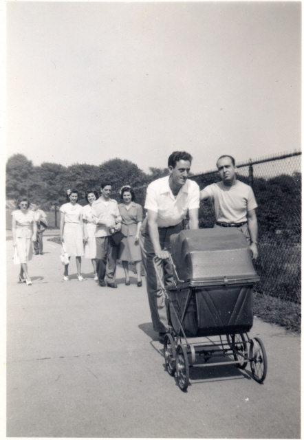
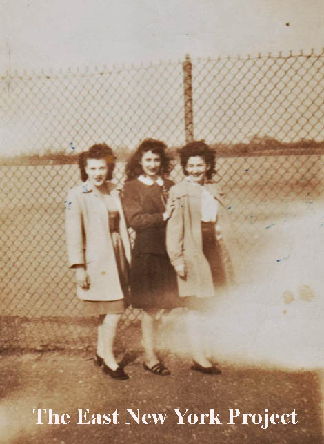
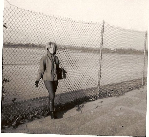
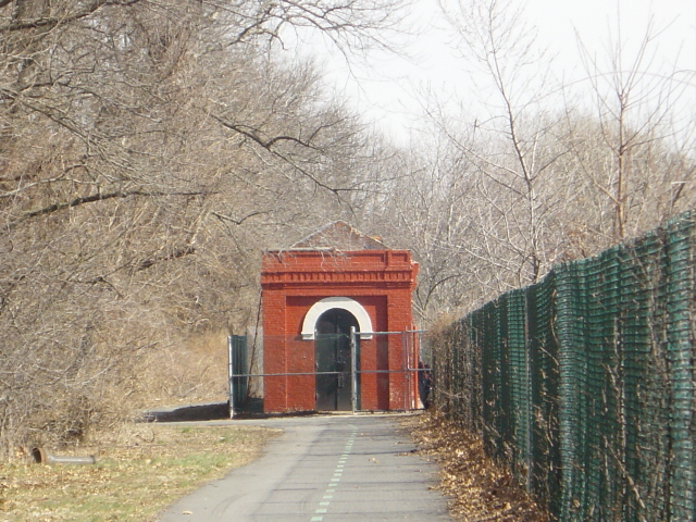
Walking the Reservoir, 1965 Lucy (Patini) Ellis sent over this shot of herself in a walk around the reservoir in 1965. This is the fence I recall; even this looks a notch down from the fence in the shot above. Phil Santella send over this 1955 shot; the reservoir is on the left out of view. Ira Rosenbaum recounts my favorite story about the path around the reservoir;"Religious Jews have a ceremony called tashlich which is performed on the first day of Rosh Ha Shona which was just a few days ago this year. They throw their sins into the ocean or lake or some body of water. For many East New York Jews the Ridgewood Reservoir was that body of water. One year we went up there and the sight was memorable...a bunch of Orthodox Jews praying and tossing their sins away...usually pieces of bread...while the Franklin K Lane cross country track team was weaving in and out of them on a training run around the reservoir. Only in ENY." |
|
 |
 |
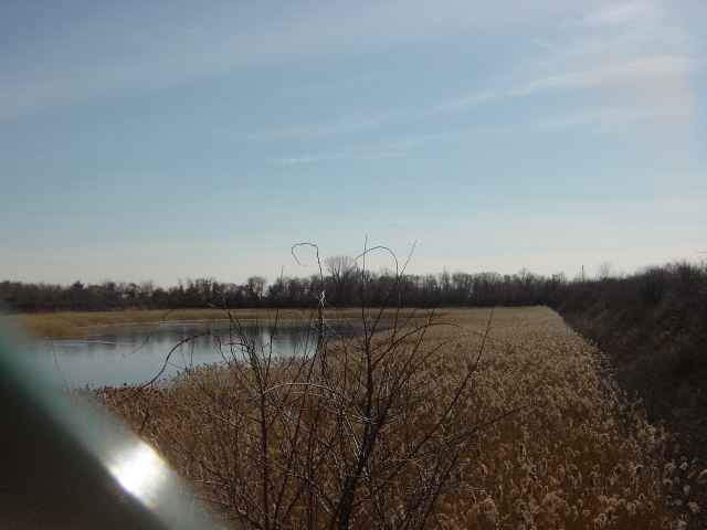
Ridgewood Reservoir, 2005 Some updated photos. Part of the reservoir is bone dry and overtaken with growth; some still has water. |
|
 |
 |
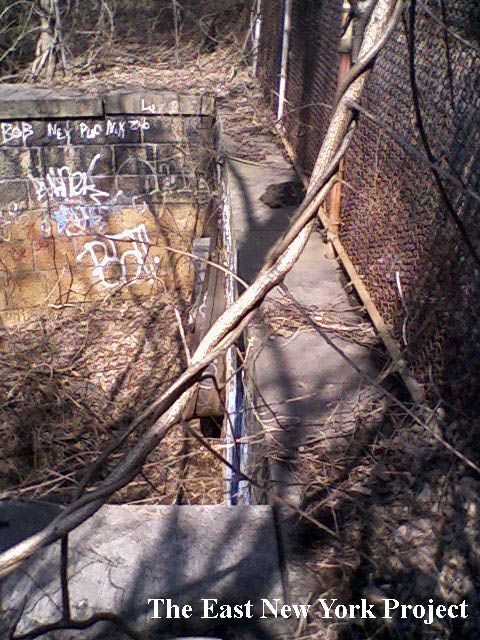
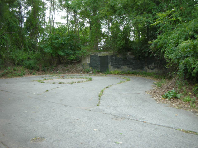
Shots of the remaining reservoir structure, 2006. The gate controllers on the right managed the flow out of the reservoir. | |
 |
 |
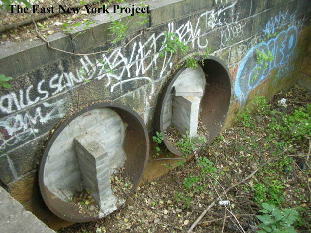
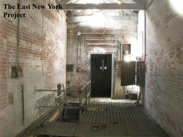
The doors to that gatehouse are welded shut, so it had always been hard to get an interior shot. I managed to have enough daylight in 2010 to get one through a hole in the door. On the right, that circular ring of bricks is one of the original efflux (exit) tunnels, now cemented in. My cousin John noted; "...during my "wild years" we use to go swimming and drinking up there. One of those spot looks like the one in the picture with the building in the background. And those tubes were not filled in with bricks back then. We use to climb in them". | |
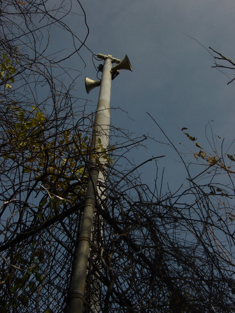 |
Siren While walking between the bays we discovered this siren tower. There have been a number of stories relayed to me about how the Upper Park was used to temporarily house POWs and the use of the siren for air raid alerts. Another story has it that the siren was to alert the neighborhood if the walls of the reservoir failed. I'm looking for documentation on the role the park played during the war. |
||
 |
 |
At the northeast corner of the reservoir, there is an odd spot. I don't remember it from my days, and had to look at an old 1949 aerial image to see what had been there. This was a keepers house, and was still standing in the 1980s, but I don't remember it. Michael Smith informed me Gordon Fleming was the last DEP employee to live there with his family. I did receive a note from someone else who was involved with Interboro work in 1989 and said "the crack heads kept occupying the building and setting it on fire, in 1990 the Parks Dept took out the roof and part of the structure to keep the crackheads out." | |
 |
The sharp eye of Anthony Messina noted the house appeared in the background of some shots Dom Most took of the former Banzer Park area in the 1970s. On the right is a close-up from one of Gloria Gallaway's slides from the 1950s showing the house. | ||
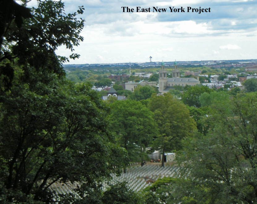 |
Great view out to the southeast from the reservoir. National Cemetery is in the foreground, Blessed Sacrament is in the center and the JFK tower is visible in the distance. | ||
 |
 |
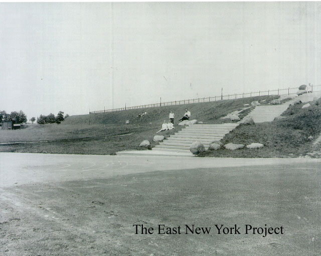
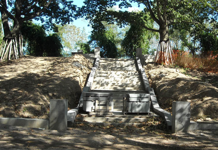
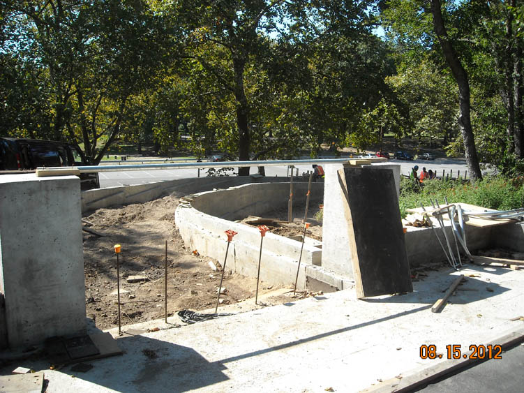
During the Bloomberg administration there was a plan to spend $50 million wiping out the reservoirs and creating sports fields. A local group, Save Ridgewood Reservoir, rallied to preserve the reservoir which had become a bird sanctuary, and spend the money fixing Highland Park. They succeeded and the basins were preserved while the surrounding areas were finally repaired after 100 years of neglect. Joey Perrone and Tom Hammond were up there in the late summer of 2012 and captured some shots of the work. A nice fence, new walkways, benches, lighting and a handicapped access ramp are all going in. | |
 |
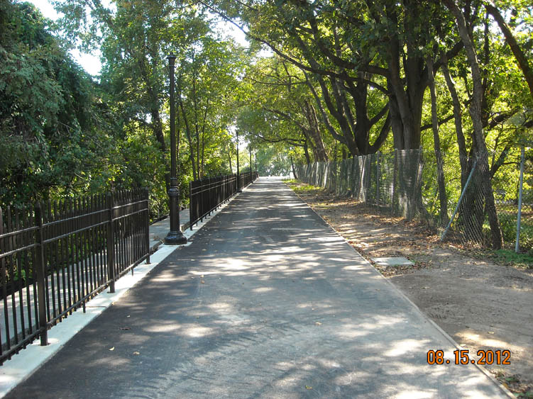 |
Thanks to Joe and Tommy for the shots. | |
 |
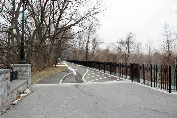 |
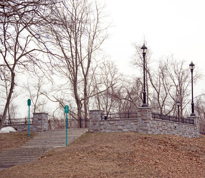
Thanks Peter Stango for he 2014 shots showing the completed work. | |
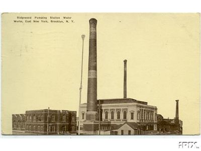 |
Ridgewood Pumping Station Dated:1915 Maker: Unk Status: Need I wanted to include one shot of the pumping station; It was located at Atlantic and Logan and remained to the 1960's. When it was finally cleared for a public park, Mayor Lindsay came down for the ceremony to start the demolition. My older brother came down with his class from P.S. 108 for the ceremony. |
||
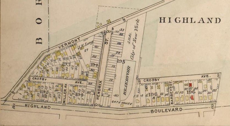 |
Mystery Reservoir There's actually a small mystery reservoir I discovered on a Queens map. It was located behind what is now Bulwer Place, which appears as Hendrix in this 1909 map. Anthony Messina helped solve the mystery- it belonged to the Long Island Water Supply Company, a private company, and for more on the story visit the Upper Park page . |
||
| June 9, 1875 Brooklyn Daily Eagle Article on Reservoir capacity and plans for expansion September 5, 1896 Daily Eagle article on water quality at reservoir. May 5, 1898 article on guarding against terrorism! |
|||