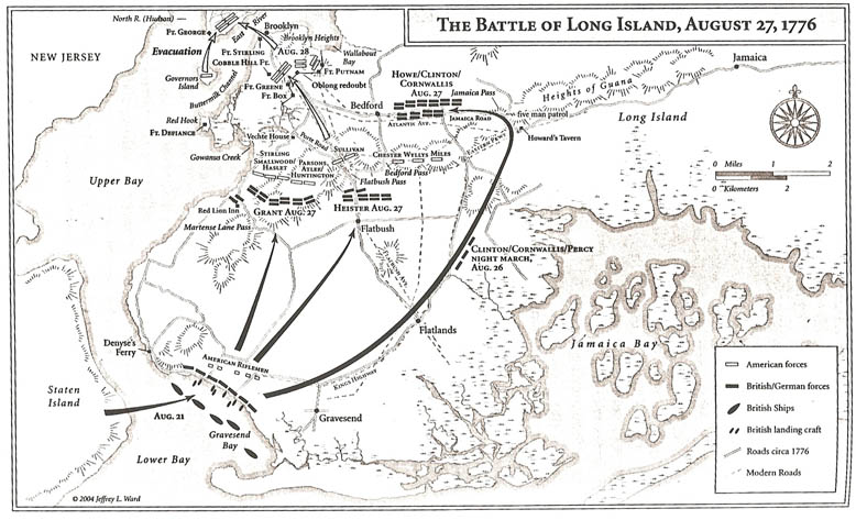
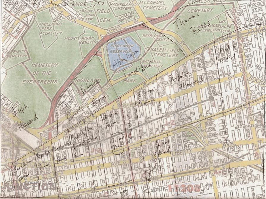
This map is my hand drawn
effort; it recreates the farms as described in "Old Days and Old Ways in East New York"
circa 1850.
|
This image overlays the farm on
a current map to give the historical perspective. Its no surprise to anyone who remembers the Ashford St. floods that a pond used to exist at this low point years ago.
|

|
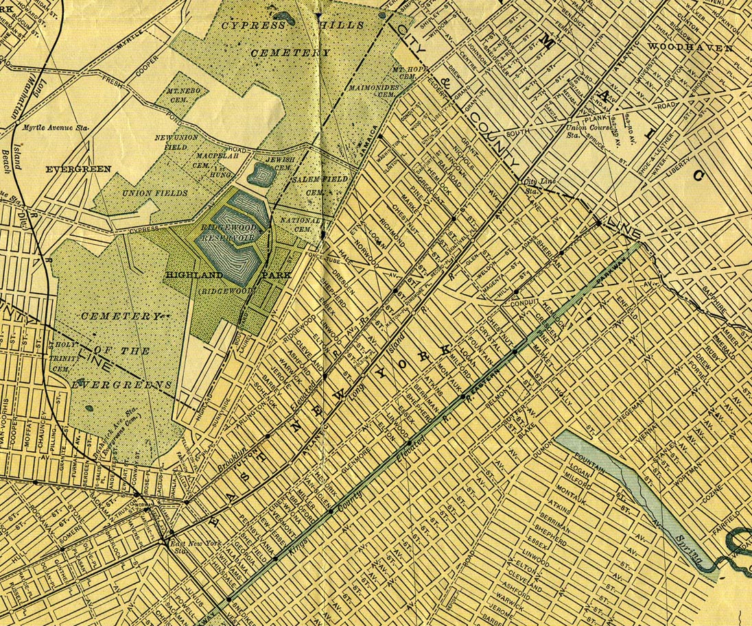
This map is from 1873 and helps provide a street name history. It also shows how little was developed in the area of the Schenck farm. Note the
run from Warwick to Linwood was originally named after the first five presidents. Also
note Arlington Ave. was originally known as "Division Ave." In the upper right along Jamaica Ave. you can see the "toll booth". See Zone 4 for an image.
|
|
From the turn of the century. The streets are mapped out,
but some are carrying defunct names. Note the elevated lines are run by the private companies, and Banzer's Lake appears next to the reservoirs.
|
|
|