        |
The 1960s - Part 10The "1960s" series we have been posting included a number of accidents and this final series I had grouped as the "City Line" section of our neighborhood. |
|||
|
|
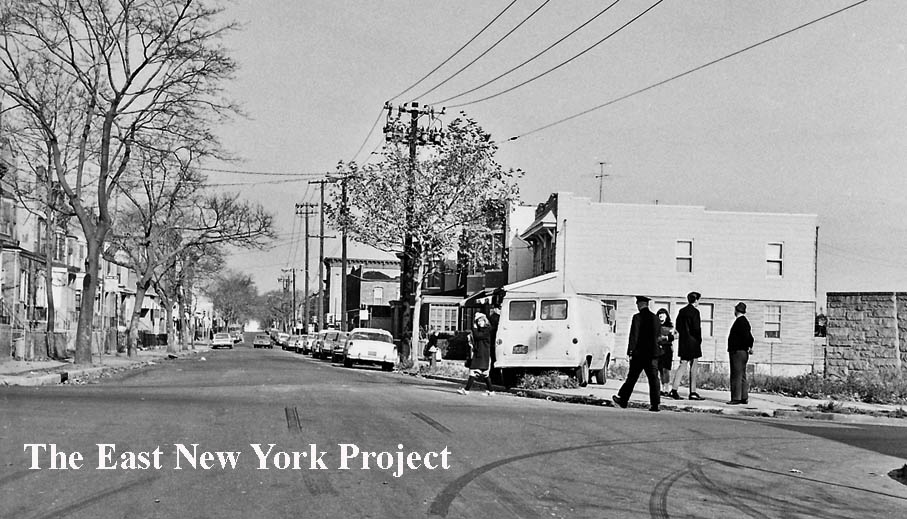
Forbell Street and Glenmore Avenue, 1960s The first view is looking north up Forbell Street across Glenmoer Avenue. The second view is east along Glenmore from Forbell. The wall visible on the left of the second image is above the tunnel for the IND line which emerges here to connect with the elevated line on Liberty Avenue. | |
|
|
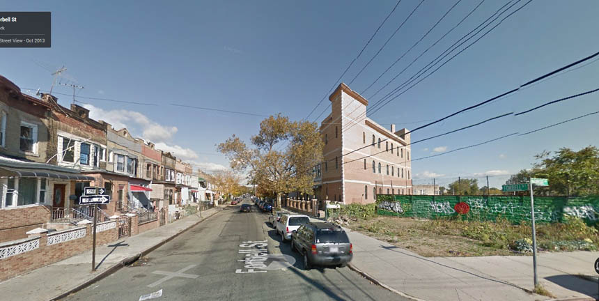
Forbell Street and Glenmore Avenue, 1960s Another view north along Forbell side by side with the view today. That large structure in the 2015 image is the Masjid-Al-Aman Mosque. | |
|
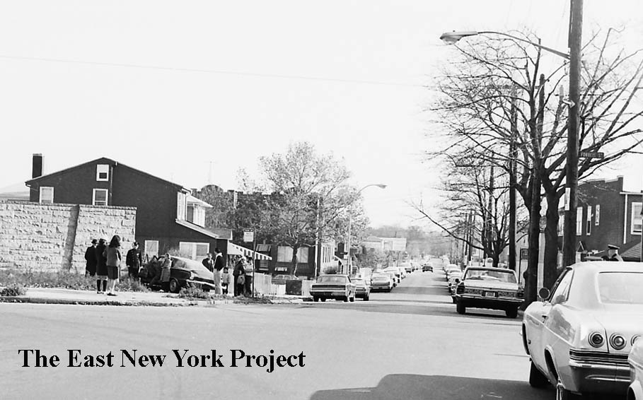
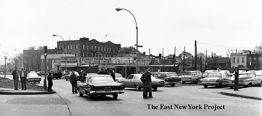
Conduit Boulvard, south of Liberty Avenue, 1966 The view is south down Conduit (note the sign for JFK) technically from Euclid Avenue. This low, flat buildings in the background are all gone, it is just a storage lot these days. | ||
|
|
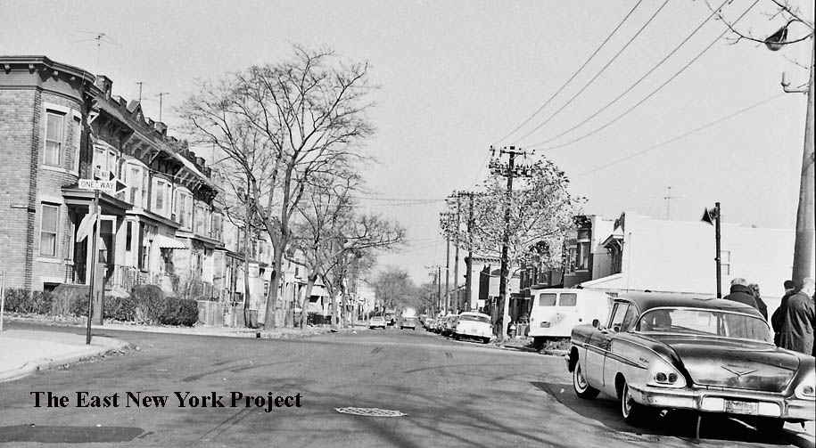
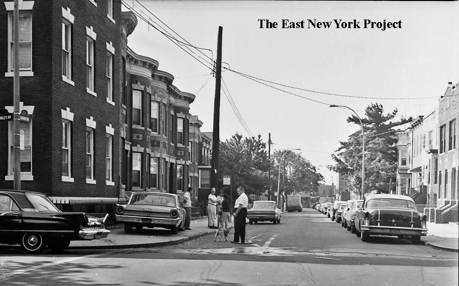
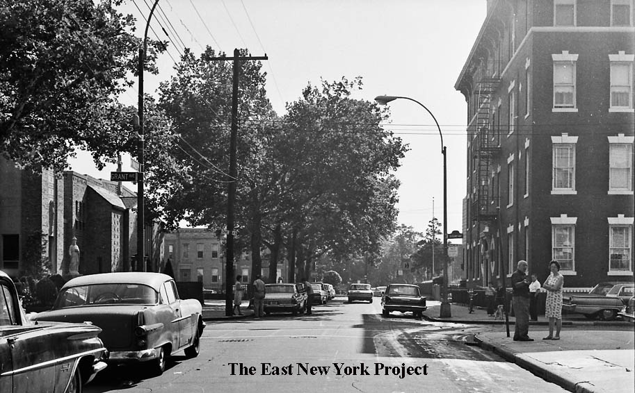
Grant and McKinley Avenues, 1960s | |
|
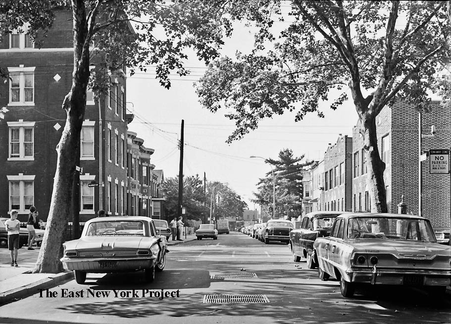
Grant and McKinley Avenues, 1960s The camera is now turned east along McKinley from Grant; we can see St. Sylvester's Church on the left. | ||
|
|
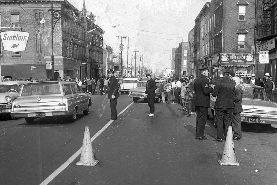
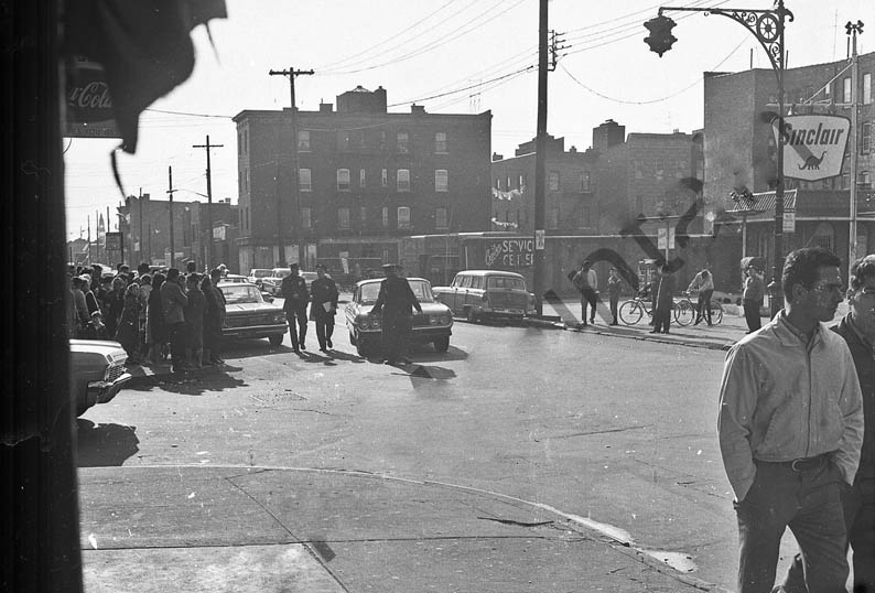
Liberty Avenue and Crystal Street, 1960s I'm stretching a little to place these with City Line, and I've been waiting for prints on this, which is why these have watermarks. These view are looking east along Liberty across Crystal. | |
|
|
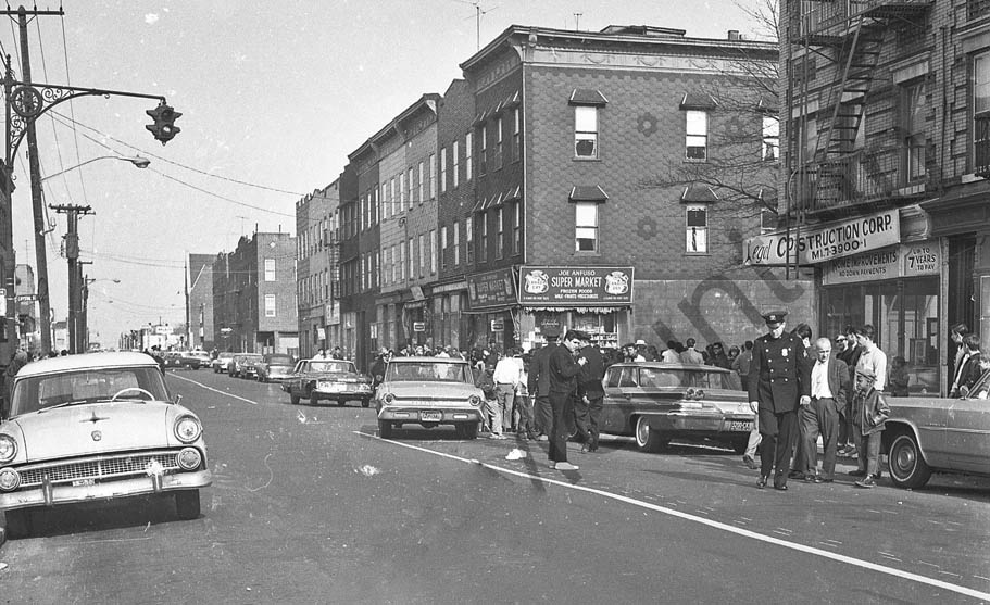
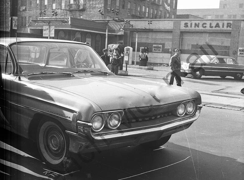
Liberty Avenue and Crystal Street, 1960s The camera is pointed toward the north side of Liberty Avenue in the first shot; in the second we are looking west from Crystal Street. | |